Visiting the Bridges
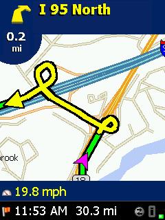
A GPS Screen.

I have found that the easiest way to find these old bridges is with a GPS. The latitude / longitude coordinates of many historic bridges may be found on the Internet. Check out my website in LINKS for a list of old metal bridges in Ohio. There you will also find a link to the coordinates of all Ohio covered bridges.
My procedure is to enter a list of bridge coordinates into my GPS (CoPilot Pocket PC ver 5) then have the GPS sort the list to optimize the travel order. A simpler GPS would just require a little more planning and the need to enter coordinates while out on the road. It's still best to plot bridge locations using mapping software to select the groups of bridges that you want to visit on a particular trip. I like Delorme Topo USA map software as it shows virtually all the creeks and rivers unlike MS Streets and Trips.
I hate dealing with paper maps when traveling as I usually ride my motorcycle. A GPS is more than just a convenience as otherwise I would have to stop a lot to check a map. Ever tried to unfold and study a map at forty mph while operating a motorcycle?
The down side of a GPS is that it's so helpful you tend not to think about navigation. If it ever broke on a trip I might have trouble getting home!
<< Home